⭐⭐⭐⭐⭐
Wyoming County Map - West Virginia
Wyoming County Map - West Virginia
🚐 Free Shipping
Couldn't load pickup availability
Capture the essence of West Virginia’s rich history and natural beauty with this detailed Wyoming County Map. Whether you’re a proud resident, a nostalgic visitor, or someone with a special connection to the area, this map is the perfect way to celebrate the unique charm of Wyoming County.
Wyoming County holds a special place in the heart of anyone who has experienced its breathtaking landscapes, charming towns, and deep-rooted history.
From the rolling hills of the Appalachian Mountains to the peaceful waters of the Guyandotte River, this map brings the warmth and beauty of the county into your home. It’s more than just a piece of wall art – it’s a reminder of family trips, peaceful afternoons, and the history that shaped the region.
Every detail of this map reflects the essence of Wyoming County. From the highways that connect its tight-knit communities to the green spaces where nature thrives, this is more than a map – it’s a story. Imagine hanging this stunning artwork in your home, a beautiful way to stay connected to the places you love.
Key Features of Wyoming County Map - WV:
-
Detailed depiction of Wyoming County’s roads and highways, including U.S. Route 52 and West Virginia Route 10
-
Topography showcasing the Appalachian Mountains and valleys
-
Highlights of R.D. Bailey Lake and its surrounding state park
-
Guyandotte River’s flow through the county
-
The historical towns of Pineville, Oceana, and Mullens
Let the Wyoming County map serve as a lasting memory of your connection to this remarkable place. Whether you’re remembering a special trip or honoring your hometown, this beautiful wall art is a timeless piece that evokes pride, nostalgia, and a sense of belonging. It’s the perfect addition to any home or office, celebrating the heart of West Virginia’s rich culture and natural beauty.
Share


Sizes and Formats
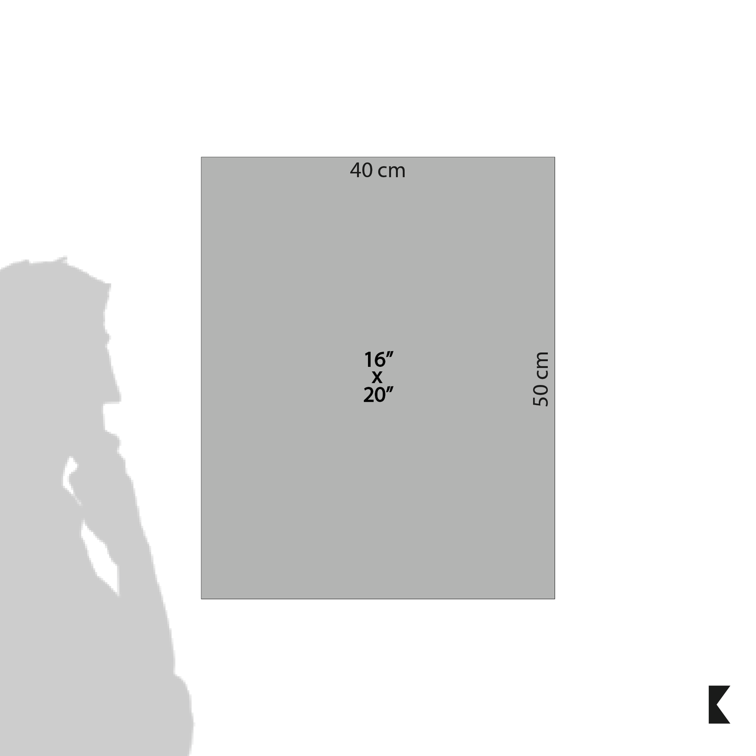
- 16x20 inch (40cm x 50cm)
- Aspect Ratio 4:5

Frame
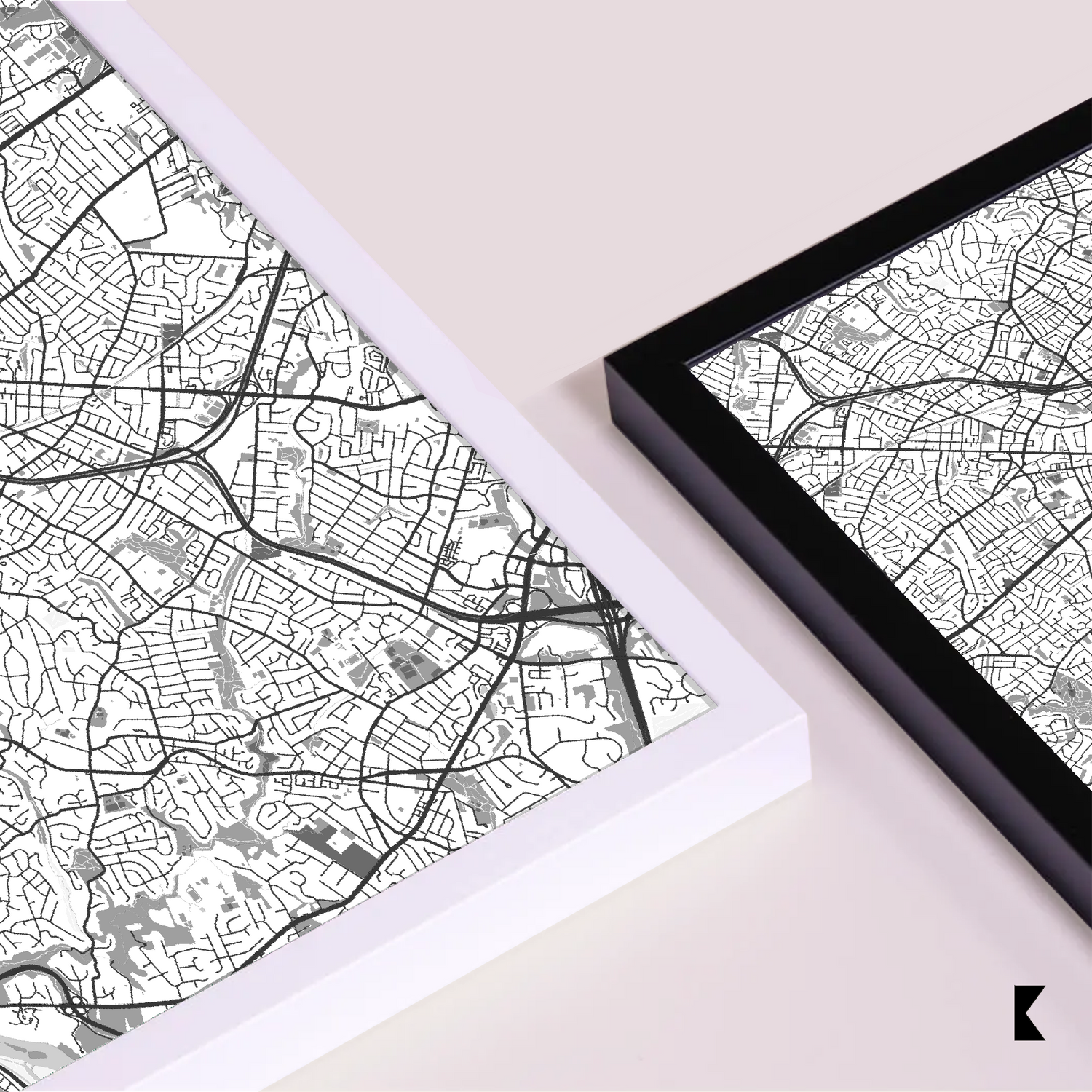
The frames are made from pine and come in 2 colors: black and white.
- Width: The width of all premium frames is 20mm (0.79 inches)
- Grain Visibility: The grain of the wood is designed to be visible using an open color concept, enhancing the aesthetics of the frames
- Colors: Our premium wood frames are available in black or white

Glass
- Material: Plexiglass is used for the glass component
- Thickness: Small and medium-sized frames have a glass thickness of 1.0-1.2 mm (0.04"-0.05" inch). For larger sizes (700x1000), plexiglass thickness is 2.0-2.5 mm (0.08"-0.1" inch).
- Protective Film: Plexiglass comes with a protective plastic film that is clear and includes a sticker saying “Please remove protective film”

Paper
- The 200 gsm / 80 lb paper weight makes it durable and long-lasting.
- We use FSC-certified paper and frame or equivalent certifications depending on regional availability. It’s better for the people and the planet.
Frequently Asked Questions
Are your maps licensed or original artworks?
What care do I have to take with the product?
To care for and clean a framed poster, follow these tips:
- Avoid direct sunlight and excessive humidity
- For indoor use
Frame cleaning:
- Use a soft duster to regularly remove dust and dirt
- If necessary, use a lightly dampened cloth with water to clean the frame's surface
- Avoid harsh chemicals
Opt for mild solutions to prevent damage to the paper, frame and glass
By following these guidelines, you'll ensure the preservation and longevity of your framed poster.
Do frames come with a hanging kit?
- Yes, our frames come with a hanging kit that allows mounting them horizontally and vertically, depending on the orientation of your poster.
- There is a hook pre-attached (for the larger sizes (60x80cm above and inclusive), and there should be 3 sawtooth mechanisms on the back, for the 3 smallest sizes the back of the frames has a mounting kit and an easel/stand) to the back panel of the frame which can be used to mount the frame on a wall.
- Please note that screws or nails are not included in the hanging kit.
Do framed posters come already mounted together?
How do I mount a poster into the frame?
- Remove the packaging from the frame and locate the small metal tabs on the back of the frame
- Bend the tabs through 90º
- Once all the tabs have been lifted out of the way, the rear of the frame can be removed and the picture inserted into the frame. Replace the back of the frame and bend the tabs back down to hold the frame in position
What payment methods do you accept?
We accept the main credit card brands as payment methods:
- Visa
- Mastercard
- American Express
- Discover
- Apple Pay (Digital Wallet)
- Google Pay (Digital Wallet)
-

Rochag
Minimalist Maps
-

Free Shipping USA
-

Sustainable Sourcing
-

30 Days Warranty
-

+ than 1200 Satisfied Customers


