⭐⭐⭐⭐⭐
Monmouth County Map - New Jersey
Monmouth County Map - New Jersey
🚐 Free Shipping
Couldn't load pickup availability
Celebrate the beauty and charm of Monmouth County with our exquisite wall decor map. Perfect for those who cherish the vibrant communities and stunning landscapes of New Jersey, this map captures the essence of Monmouth County in stunning detail. Whether you have fond memories of the coastal breezes or are drawn to its historical landmarks, this map is a beautiful reminder of all that makes Monmouth County special.
Imagine bringing the coastal elegance of Monmouth County into your home with our meticulously crafted map. This piece not only highlights the county’s topographical features but also serves as a cherished keepsake of the picturesque landscapes and historic charm. From the scenic shores of Long Branch to the bustling streets of Asbury Park, this map evokes memories of the places you love and the experiences you treasure.
Monmouth County Map - NJ features:
-
Detailed Road Network: Connects the beloved towns and scenic routes that weave through the county, including the Garden State Parkway and Route 35.
-
Topographical Highlights: Showcases the rolling hills of the Navesink Highlands and the tranquil coastal plains.
-
Historical Landmarks: Includes iconic sites such as the Twin Lights Historic Site and Monmouth Battlefield State Park.
-
Natural Beauty: Illustrates key green spaces like Sandy Hook Gateway National Recreation Area and Allaire State Park.
-
Waterways: Captures the serene Shrewsbury and Navesink Rivers, and the refreshing Manasquan Reservoir.
Every corner of this map tells a story of Monmouth County’s rich heritage and natural splendor. It’s not just a map; it’s a celebration of the places and moments that make Monmouth County unforgettable. Elevate your space with this stunning tribute and let the beauty of Monmouth County inspire you every day.
Share


Sizes and Formats
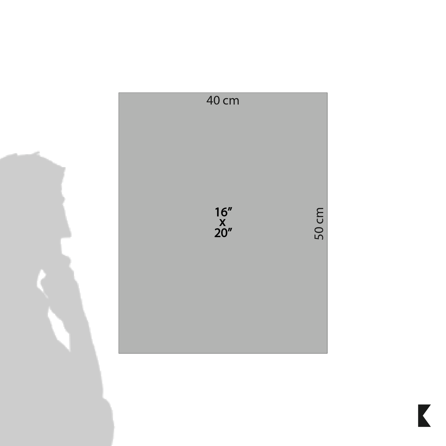
- 16x20 inch (40cm x 50cm)
- Aspect Ratio 4:5

Frame
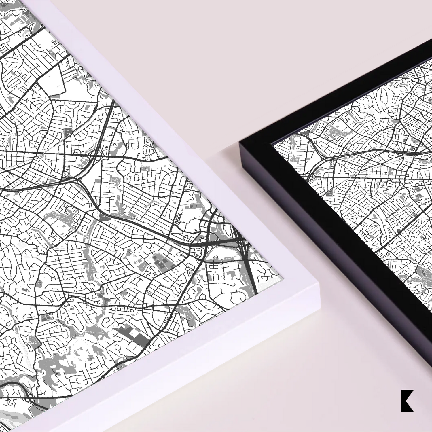
The frames are made from pine and come in 2 colors: black and white.
- Width: The width of all premium frames is 20mm (0.79 inches)
- Grain Visibility: The grain of the wood is designed to be visible using an open color concept, enhancing the aesthetics of the frames
- Colors: Our premium wood frames are available in black or white

Glass
- Material: Plexiglass is used for the glass component
- Thickness: Small and medium-sized frames have a glass thickness of 1.0-1.2 mm (0.04"-0.05" inch). For larger sizes (700x1000), plexiglass thickness is 2.0-2.5 mm (0.08"-0.1" inch).
- Protective Film: Plexiglass comes with a protective plastic film that is clear and includes a sticker saying “Please remove protective film”

Paper
- The 200 gsm / 80 lb paper weight makes it durable and long-lasting.
- We use FSC-certified paper and frame or equivalent certifications depending on regional availability. It’s better for the people and the planet.
Frequently Asked Questions
Are your maps licensed or original artworks?
What care do I have to take with the product?
To care for and clean a framed poster, follow these tips:
- Avoid direct sunlight and excessive humidity
- For indoor use
Frame cleaning:
- Use a soft duster to regularly remove dust and dirt
- If necessary, use a lightly dampened cloth with water to clean the frame's surface
- Avoid harsh chemicals
Opt for mild solutions to prevent damage to the paper, frame and glass
By following these guidelines, you'll ensure the preservation and longevity of your framed poster.
Do frames come with a hanging kit?
- Yes, our frames come with a hanging kit that allows mounting them horizontally and vertically, depending on the orientation of your poster.
- There is a hook pre-attached (for the larger sizes (60x80cm above and inclusive), and there should be 3 sawtooth mechanisms on the back, for the 3 smallest sizes the back of the frames has a mounting kit and an easel/stand) to the back panel of the frame which can be used to mount the frame on a wall.
- Please note that screws or nails are not included in the hanging kit.
Do framed posters come already mounted together?
How do I mount a poster into the frame?
- Remove the packaging from the frame and locate the small metal tabs on the back of the frame
- Bend the tabs through 90º
- Once all the tabs have been lifted out of the way, the rear of the frame can be removed and the picture inserted into the frame. Replace the back of the frame and bend the tabs back down to hold the frame in position
What payment methods do you accept?
We accept the main credit card brands as payment methods:
- Visa
- Mastercard
- American Express
- Discover
- Apple Pay (Digital Wallet)
- Google Pay (Digital Wallet)
-

Rochag
Minimalist Maps
-

Free Shipping USA
-

Sustainable Sourcing
-

30 Days Warranty
-

+ than 1200 Satisfied Customers


